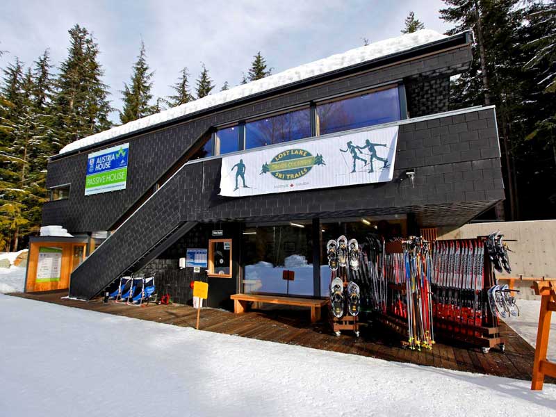
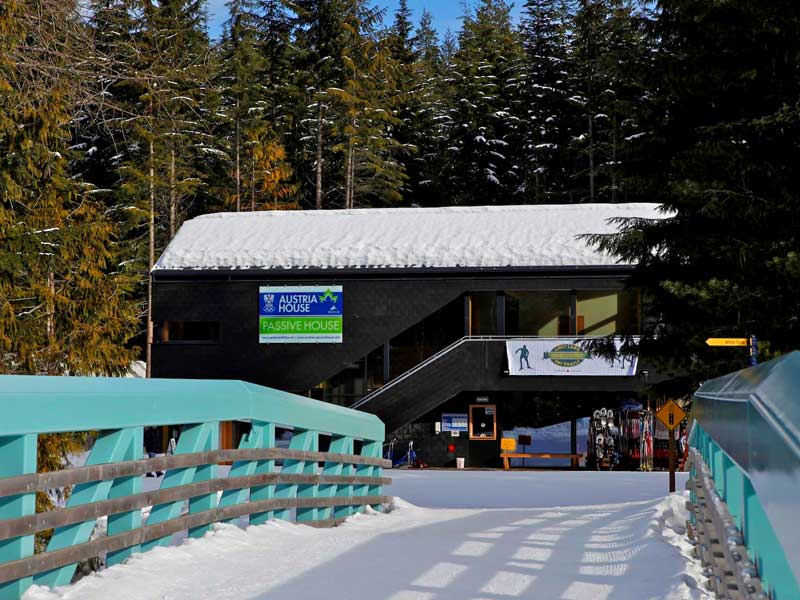
Maps
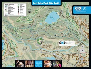
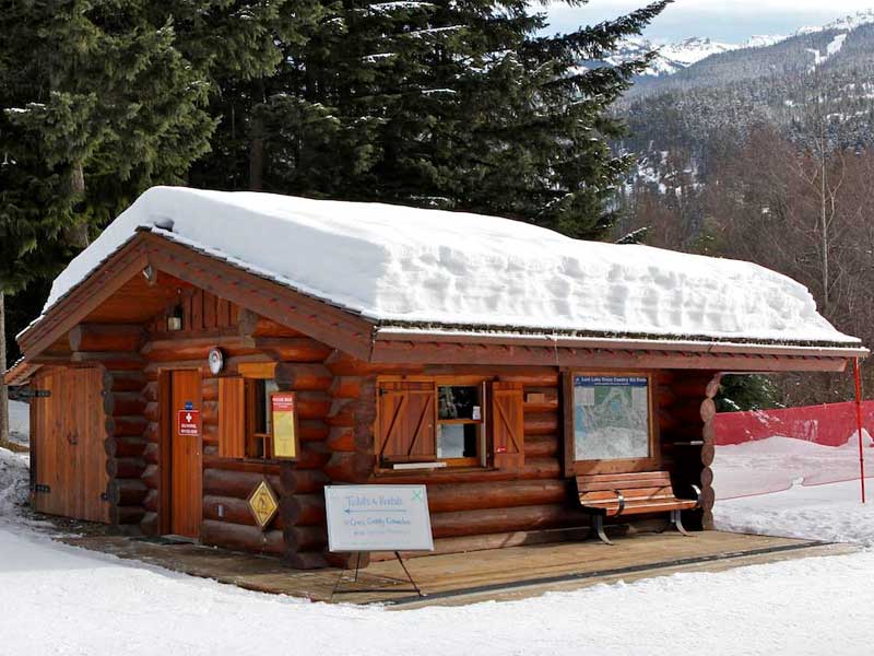
Click on the map for a larger version you can view in detail. Printed copies of the map are available for free at Cross Country Connection.
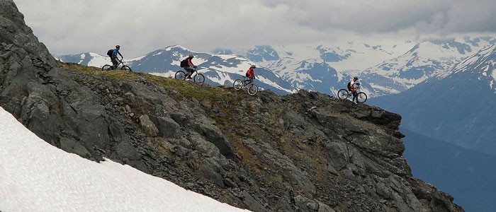
There are so many great biking trails, you’re advised to have a Trail Map with you. Some are gentle paved paths wide enough for side by side riding with your partner while others are snaky single-tracks weaving through challenging terrain. You’ll want to have a map to choose what’s best for you. We provide our printed paper maps free of charge, from our shop. Don’t worry about getting lost as most of the trails are well marked with signs and maps.
Many riders use the popular TRAILFORKS website and app to explore the network of Whistler trails and beyond..
Check out the Google Map below. If you use Google’s tools you can enable some layers (they have a bicycling layer now!) to get some of our trail network to show up. Zoom out as far as you need to get oriented. You can see the trail network and the town.
View Larger Map
If the map below remains blank, try this link to the location.
Into the more 3D experience of GoogleEarth? Use this Google Earth .kmz link to zoom into our location from wherever you are on the planet. From there you can explore Whistler, at least the best view Google provides you!


