Maps

Click to see a larger version of this map.
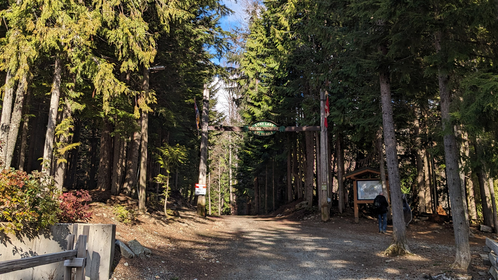
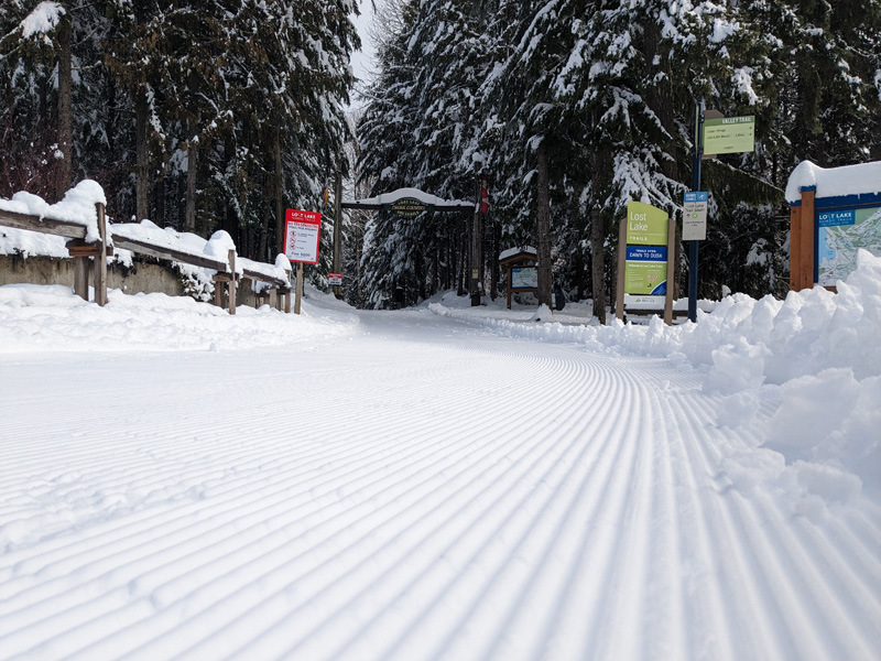
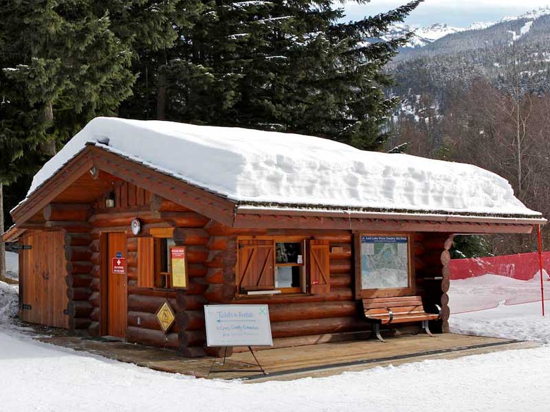
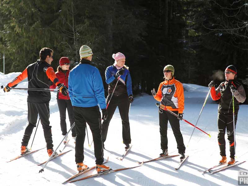
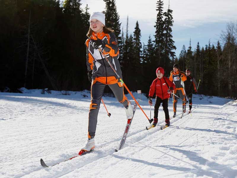
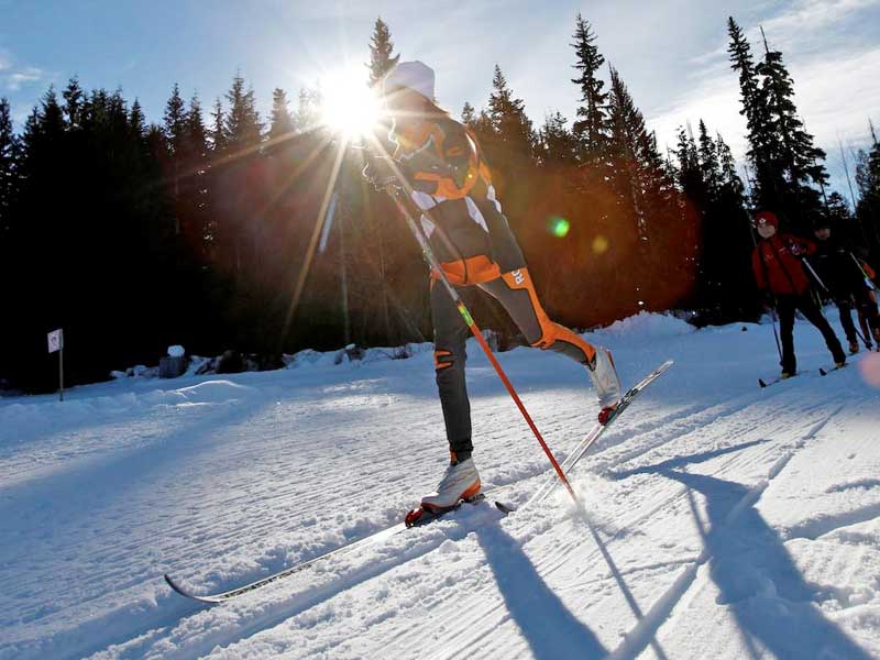
There are so many trails, you’re advised to have a Trail Map with you. We provide them free of charge. But don’t worry about getting lost because the trails are well marked with signs and maps.
For additional detail and printing, download our PDF version of the trail map. (Note: The 2 MB file will download or open in a new window.)
The popular Trailfork site and associated app provide an interactive online map to our trails and beyond.
Check out the Google Map below. Zoom out as far as you need to get oriented. You can see the trail network and the town. If the map below remains blank, try this link to the location.
Into the more 3D experience of GoogleEarth? Use this Google Earth .kmz link to zoom into our location from wherever you are on the planet. From there you can explore Whistler, at least the best view Google provides you!